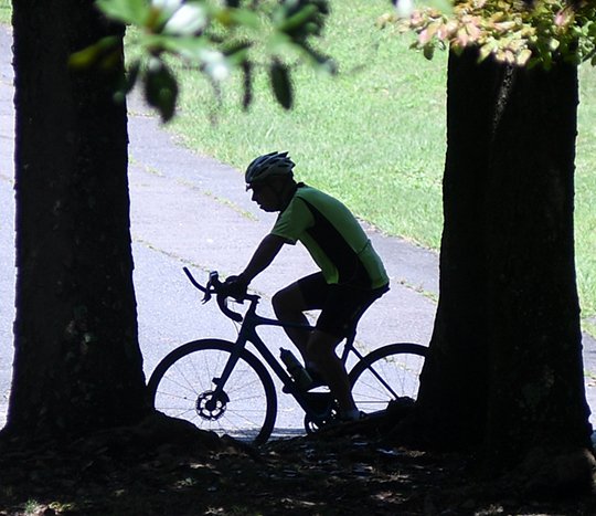
The Garland County Quorum Court bought into part of the plan to broaden the area's tourism portfolio into bicycling, committing the county Monday night to funding its share of a federal grant match for a 65-mile inter-county biking and hiking trail.
The unanimous roll-call vote amid the standing-room-only crowd that had mustered in the country courtroom of the Garland County Court House in support of the measure authorizes County Judge Rick Davis to work with Saline and Pulaski counties on the Southwest Trail, which will connect Little Rock Central High to Hot Springs National Park.
The three counties were awarded a Federal Lands Access Program grant in April for two-thirds of the design work, which will include an environmental assessment of the preliminary route along the right of way of the defunct Missouri Pacific Railroad line between Hot Springs and Little Rock.
Davis said the grant requires the counties to split 20 percent, or $480,000, of the $2.4 million initial design phase.
Pulaski County applied for the grant. A letter Pulaski County Judge Barry Hyde wrote to the grant review committee indicated Pulaski County would provide the initial funding for the FLAP grant and seek reimbursements from Garland and Saline counties for their shares of the 20-percent match.
Hyde said Tuesday that the resolutions the Pulaski and Garland county quorum courts adopted provide assurances that they'll appropriate the money needed to proceed with the grant.
The grant resolution has yet to go before the Saline County Quorum Court.
Hyde said no money will be appropriated toward the $480,000 match until the grant contract is signed, which he expects to happen by the end of the year. Davis said the county's match share has already been budgeted for and appropriated. It's in the road department's engineering and architectural line item.
Davis said the resolution doesn't obligate the county to fund subsequent phases of the trail's development, explaining that financial support from the private sector, nonprofits and municipalities along the trail will likely be needed as the project progresses.
A feasibility study commissioned in 2015 estimated that the 17.4-mile Garland County leg would cost $7.6 million, with a $33.3 million cost for all 65 miles.
"To me, this is an investment to get to where you can build it," he said. "Once we get this shovel ready, then you can start applying for grants or private funding. I think at that point, it's going to take foundation money and interest from the private sector to make this a reality.
"I don't think any of the counties are going to be able to foot the bill to match grants for the larger project. If the money can't be raised in other forms, it won't be done. That's the way I look at it."
Hyde said the grant awarded in April will pay for engineering work that will better define the trail route and its costs. The feasibility study envisioned it tracing the rail line, but Hyde said it didn't consider the cost of negotiating potential obstacles along that route or if all of the right of way for that path can be acquired.
He said part of the rail line's right of way has reverted to adjacent property owners. Determining if they'll donate easements for the trail or sell them at a reasonable price is part of the initial design work, Hyde said.
Davis said he expects the Garland County leg to parallel Highway 70 or Highway 88, which would bring it into the city via Spring Street.
Hot Springs Mayor Pat McCabe spoke in favor of the resolution, telling the quorum court that a dedicated road bike trail would add to the area's network of existing and planned mountain bike trails. The city has plotted more than 40 miles of mountain bike trails in the Northwoods, the 2,000-acre woodland tract it owns north and west of Park Avenue.
The Northwoods Urban Forest Park Feasibility Study the city commissioned identified mountain biking as an immediate means for tapping into the acreage's tourism potential, building on the city's designation by the International Mountain Biking Association as a ride center.
"We have just about everything we need, but we don't have a good road biking system," McCabe said. "The Southwest Trail closes that gap."
According to the feasibility study, the 65,000 out-of-town users the trail is projected to draw annually will bring $3 million a year in spending to the three counties and create a $4.8 million economic impact that can support 68 additional jobs.
The Southwest Trail, or Military Road, followed the general direction of the Natchitoches Trace established by American Indians between present day St. Louis and northeast Texas and northwest Louisiana, according to the feasibility study.
Military Road was built by the U.S. Army in the 1830s but fell into disuse after the Civil War.
Local on 08/16/2017