Three Hot Springs Junior High EAST students have taken on a project to formulate a free app that will map out biking trails in the Northwoods Trails system, adding convenience for any solo biker or family bikers visiting.
Ninth-graders Tessa Rivera, Natalie Comstock and Mimi Reagler are the young minds behind the "Hot Springs Trails Map," which will be coming soon to bikehotsprings.com. The three have been part of EAST, or Education Accelerated by Service and Technology, for three to four years.
"Our project, in its essence, is a web app," Rivera said. "It's designed to filter through many different aspects, which we chose, so people could find the trail that's perfect for them, for every experience."
Reagler said biking in Hot Springs is growing rapidly.
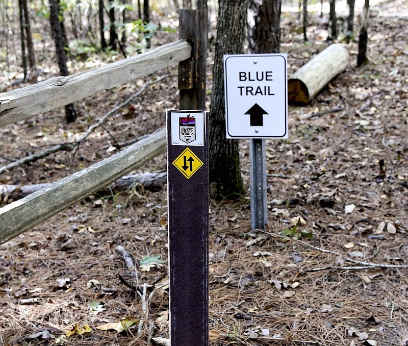
"Hot Springs has recently spent $1.3 million to become a biking hot spot," she said. "They have also added over 44 miles of public trails. Hot Springs did not have a user-friendly digital map of the trails for public use. We created a filterable web mapping application using ArcGIS online. This is supposed to be hosted on the Hot Springs biking website, and will allow users to filter the trails based on GPS data and trail features."
Reagler said the app will promote health by making it easier to find the trail that best fits a biker's needs, and making it easier for bikers to come out and bike.
"It will also improve tourism and increase economic development by making more people from out of town look at the map and go 'This trail looks perfect for my family of four kids to come and enjoy,'" she said.
Although the students' created the app, partnerships within the community also helped make it possible.
"Our community partners are Traci Berry, who is the Northwoods trail coordinator, and she has helped us with mapping the trails and giving us all the data we needed," Comstock said. "She walked us through the trails on multiple occasions and just gave us a lot of useful data. And then TACO stands for the Trail Advocacy Coalition of the Ouachitas, and they also helped us, along with CAST, which stands for Center for Advanced Spatial Technologies. It helped us with web filter assistance."
Reagler said they will also be working with CAST to update the app and make it easy for bikers to leave reviews on the trails.
"So that way people can find the trail that not only fits them statistically, but also lets people who have tried out the trail," she said. "Kind of like reviewing a game or device; it'll be reviewing a trail showing what you see if the trail gets really flooded after it rains, or if the trail is beautiful after it rains."
The girls were inspired to create the app by the large number of people around them who enjoyed biking.
"When you look up Hot Springs there's like a top 10 list of what Hot Springs is known for, and one of the very big ones is mountain biking ... and we were looking through it and we saw that it was kind of hard to figure out which trails and it was just a paper map just online," Reagler said. "So if you opened it, you'd have to zoom in and I was looking at it on my phone at the time, and it's almost impossible to figure out the trails on my teeny tiny phone I had, so we figured out we were going to make almost like a Google Map of the trails."
"Because it was a lot harder for bikers to have to individually research each trail, and then decide 'Can I bring my family with me or is it just not kid-safe?'," Rivera added.
"And we experimented by joining some Facebook biking groups and we saw that everyday people would get questions about which trails to go on; not just here, but all over Arkansas there are biking organizations," Reagler said. "And it goes 'I'm taking my kid to the Northwoods Trails, what trails should I go on, what trails are kid-friendly for my 4-year-old on a tricycle?' And it's just we would like to get that in one central location."
The app is also being entered in a "Tech for Good" competition, which is normally held at a two-day conference, but has been canceled due to the COVID-19 pandemic.
"So another big stage right now is trying to talk to CAST, upgrade our map look-wise, and then we're also working to get a video and get people's opinion on how to make it better and turn in our application and try to win the Tech for Good competition," Reagler said.
Although EAST students are not required to complete a yearly project, Reagler said it's a lot of fun to have a project just to have something to strive for to improve the community you live in.
"But you can do tons of things," she said. "EAST is so broad; use technology to help the environment or help the community."