Heavy rainfall that totaled more than 5 inches and counting in some areas of the county led to flooded roadways and prompted Entergy Arkansas Inc. to open spillway gates at Remmel and Carpenter dams to maintain lake levels Wednesday.
Garland County was under a flood warning for most of Wednesday afternoon and early evening. A flood warning means that flooding is imminent or occurring, according to the National Weather Service. A flood watch remained in place overnight.
The Garland County Department of Emergency Management alerted school officials Wednesday afternoon to flooding that may affect bus routes. The list included the low-water slab in the 4600 block of Mill Creek Road, the Owensville Cutoff bridge over the south fork of the Saline River, all low-water crossings on Brady Mountain Road, the 300 block of Hughes Road, the 200 block of Spears Circle, the 1100 block of Danville Road and the dirt part of Owl Creek Road.
The Jessieville School District said it will be closed today due to flooded roads in the area.
County Road Commissioner Tony Breshears said flooding had washed out a section of Owl Creek that's maintained by the U.S. Forest Service, but that all other roads should be passable after the floodwaters receded.
An updated list the county provided schools later in the day added Kinsey Mountain and Powell roads. DEM Director Bo Robertson said sections of both were underwater. About 1,000 feet in the 2500 block of Caddo Gap Road in southwestern Garland County were underneath several feet of water, Robertson said.
To the east, the North Pearcy Road bridge over Mazarn Creek was still open Wednesday afternoon, but Robertson said water had climbed to 5 or 6 feet below the bridge deck. The creek flooded during heavy rains last spring and washed out part of the road.
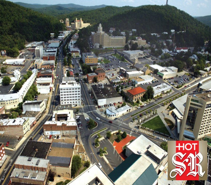
Robertson said clogged culverts led to numerous 3- to 5-inch deep pools of standing water dotting Park Avenue from Gulpha Gorge to the Highway 7 north junction.
To the north, Robertson said large drainage pipes the road department installed under Deer Park Road after a spring 2016 flood event were proving effective at channeling rising waters from the south fork of the Saline River off the road.
The river typically washes out the road during heavy rains, Robertson said.
Heavy rainfall overnight prompted Entergy Arkansas Inc.'s Hydro Operations office to declare a non-failure high water event under its Emergency Action Plan at around 4:40 a.m. Wednesday.
According to the National Weather Service, at 8 a.m., dam operators reported elevated releases at Remmel Dam above the Ouachita River.
"This is a routine high water event which will result in lowland flooding along the Ouachita River in Hot Spring County," the Weather Service said.
The flow rate at Remmel Dam at 8 a.m. was 41,000 cubic feet per second of water.
Under the Emergency Action Plan, the high-water notification is triggered when the release from Remmel reaches 30,000 cfs.
By 2 p.m., Entergy said the flow from Remmel was remaining steady at around 46,000 cfs, and both lakes Hamilton and Catherine remained within their normal winter drawdown levels and rule curves.
"Initial impacts from Remmel Dam releases will reach the bridge on Interstate 30 near Malvern within one to two hours, with maximum impacts occurring within the next two to three hours. Initial impacts will reach Donaldson within the next three to six hours, with the maximum impacts occurring within the next six to eight hours. Impacts will reach Friendship in about 10 to 12 hours. Livestock and property should be moved out of the floodplain. Flooded roadways should be avoided," the Weather Service said.
Locations in the warning area included areas along the Ouachita River near Oak Grove, Midway, Friendship, and Jones Mill.
"We are continuing to monitor the lake levels and will adjust gates as needed. Both lakes Hamilton and Catherine have remained within their normal drawdown operational levels," David Batson, Entergy's lakes manager, said Wednesday afternoon in an email.
There will be no flow releases from Blakely Mountain Dam, as Lake Ouachita is currently in a refill mode, Batson said.
"We advise lakefront property owners and downstream river users to be aware of the weather and understand that this is a flash flood-prone river valley. Please take the appropriate precautions against flash flooding. This event has most likely caused a substantial amount of debris on the lakes so we advise boaters to use caution."
Rainfall amounts varied by location, Batson said in a telephone interview later in the day, with western areas of the county, where it began to rain earlier, receiving higher amounts.
According to the Water Control Center website maintained by the Vicksburg District of the U.S. Army Corps of Engineers, Lake Ouachita rose 2.12 feet overnight, with a 24-hour precipitation total of 5.52 inches. Lake Ouachita, which has seen some of its lowest levels in years in recent months, was still more than 7 feet below flood stage.
Batson's email said Entergy's gauges indicate the area received between 3.17 and 4.72 inches of rain and, "at least for now," the creeks flowing into the lakes appeared to have crested and were receding by 2 p.m.
"The National Weather Service has indicated that we can expect additional rain, of a significant amount, over the next few days. We will be monitoring lake levels and adjusting flow accordingly," he said in the email.
Hot Springs Village closed its Cortez Gate on Wednesday because the bridge on Talley Cemetery Road just outside the gate is flooded, according to Kate Chagnon, communications manager for the Hot Springs Village Property Owners Association.
"We have also closed DeSoto Park Lane, which leads to the dog park, because its low water bridge is overflowing. We have also closed a section of South Barcelona Road, from Meteoro Way to Mandarina Drive. These are the only impassable areas that I'm aware of at this time," Chagnon said in an email.
Local on 02/22/2018