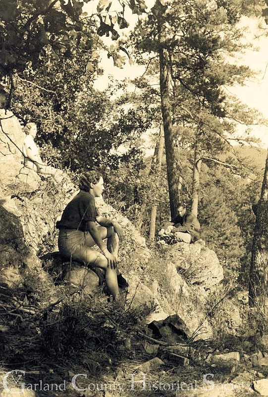
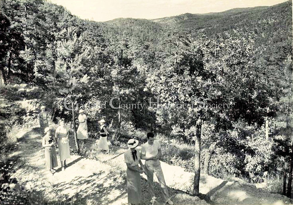
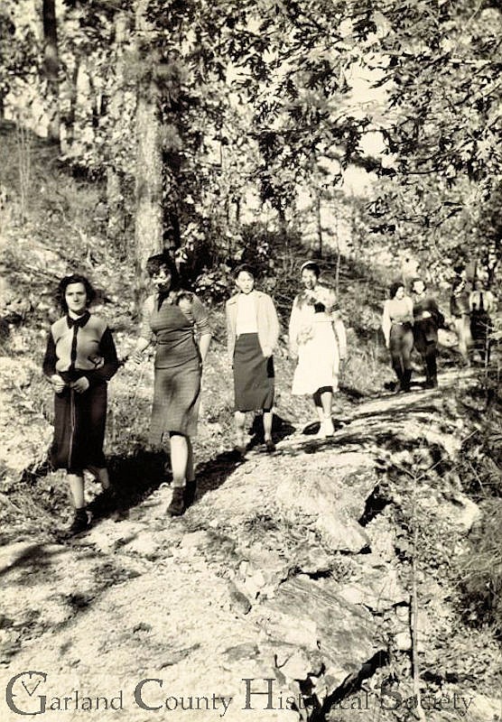
April’s National Arbor Day reminds us to be grateful for trees. One way to discover and appreciate the beautiful trees in this area, as well the flowers and wildlife, is to explore the Hot Springs National Park trails.
Short trails and long trails, gentle trails and challenging trails – all are found in Hot Springs National Park and provide not only natural vistas but views of the city that are incomparable.
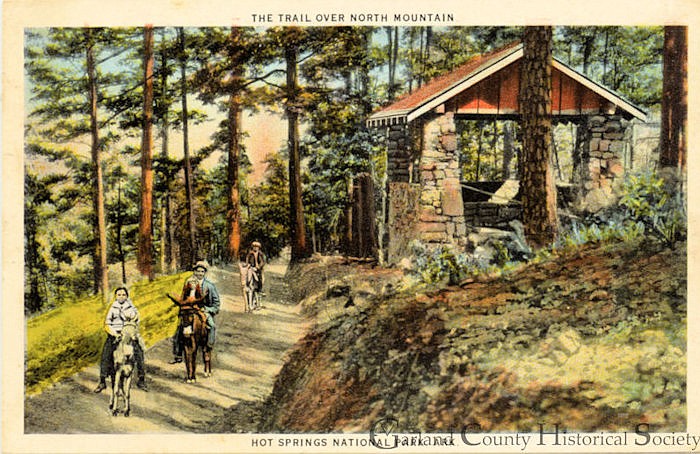
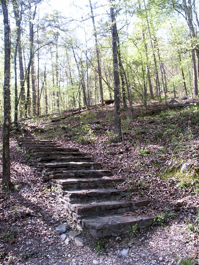
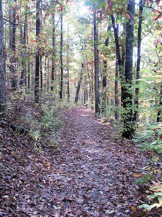
Twenty-two trails, varying from 0.01 to 9.7 miles in length, wander through park land on Hot Springs, North and West mountains, and the long Sunset Trail crosses several mountains. The mountains, part of the Zig Zag Range of the Ouachitas, include glades, watersheds, and mature Southern mixed pine and hardwood forest landscapes that deserve to be seen up close. Before planning a walk, visit the Visitors Center in the Fordyce Bath House on Bathhouse Row and purchase "Trails of Hot Springs National Park," a booklet that gives detailed descriptions of each trail and helpful directions, such as which path to take when trails intersect.
On the 1.4-mile Oertel Trail on Hot Springs Mountain, you can follow what was once part of the historic Oertel Fitness Trail system, completed in 1915 but now a thing of the past. Based on the theories of Dr. Max Oertel, an early proponent of graduated exercise to strengthen the heart muscle, each of the four paths was designed to create a different level of difficulty and color-coded accordingly with painted concrete markers. Yellow was the easiest and red, the section partially followed on the modern trail, the most challenging.
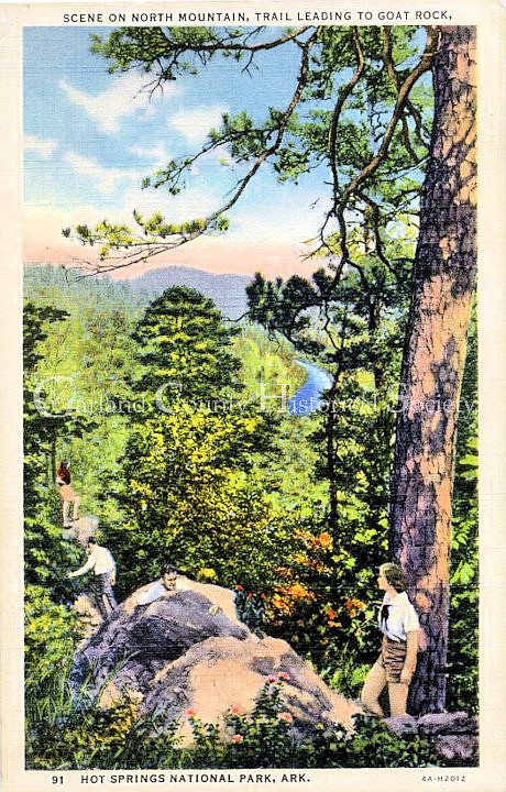
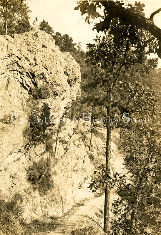
Floral Trail on North Mountain and Hot Spring Mountain is famous for its abundant spring dogwoods. Goat Rock Trail on North Mountain offers views of Indian Mountain and east Hot Springs from glades of wildflowers. You pass under enormous novaculite boulders on the trail and can climb a stairway to Goat Rock Overlook.
Many enjoy the pleasant 1.7-mile loop on the Hot Springs Mountain Trail. It starts at the pagoda shelter just below Hot Springs Mountain Tower and winds down through mixed hardwoods and pines.
Want to see pine warblers all year round? Tackle Mountain Top Trail on West Mountain. Want to enjoy the most wonderful display of dwarf crested iris in the park? Walk West Mountain Trail. Want to really challenge yourself? Try the 9.7-mile Sunset Trail, which goes across all types of terrain and meanders through less-frequented areas that are home to wild turkey, white-tailed deer, and many species of wildflowers.
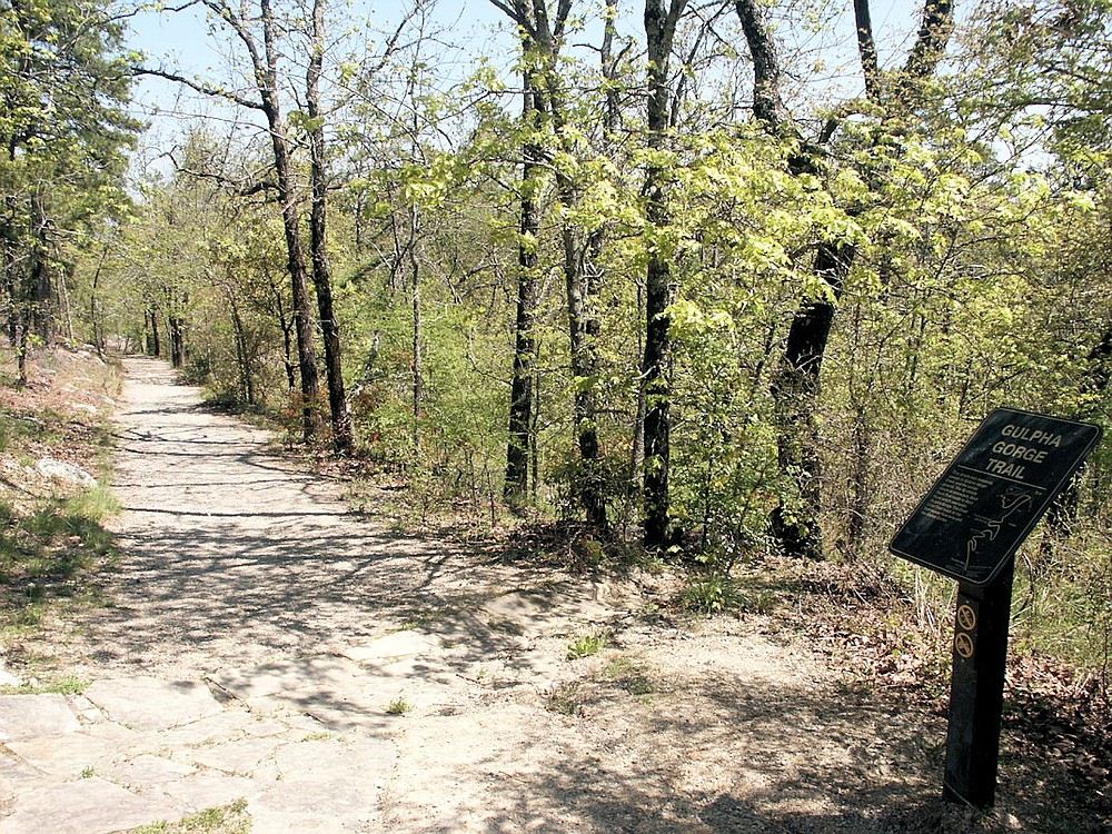
You can take on this trail one section at a time. Section 1 on West Mountain (2.9 miles) connects West Mountain and Blacksnake Road. Section 2 on Sugarloaf Mountain (2.8 miles) connects Blacksnake Road and Cedar Glades Road, and its last part takes you to Balanced Rock, an oddly shaped novaculite outcropping. Section 3 on Stonebridge Road (4 miles) connects Cedar Glades Road and Gulpha Gorge. Part of this section leads you to Ricks Pond, a haven for beaver, Louisiana heron, and other water-loving animals.
To learn more about the trails, visit http://www.nps.gov/HOSP, the Hot Springs National Park web site. Hiking the trails is a great way to celebrate the natural wonders of this area, including our beautiful trees.
For more information, the Garland County Historical Society may be contacted by email at [email protected], phone at 501-321-2159, or at garlandcountyhistoricalsociety.com.
Gallery: TIME TOUR: Hitting the Trails of Hot Springs National Park